Economic Empowerment Begins with Land Tenure Rights
Mapping gives a district the ability to develop land use plans for agriculture, which informed a Tanzania Flying Labs project in Simiyu, Northern Tanzania.
November 8th, 2018
 "Mapping is everything," says a city engineer in response to a question about flood resilience. The same applies to most of the work we do at the Tanzania Flying Labs.
Mapping means having precise measurements of farms to estimate yields and pre-harvest losses. Mapping means measuring habitat extent in protected areas. Mapping gives a district the ability to develop land use plans for agriculture. The latter is what we are currently doing in the new region of Simiyu in Northern Tanzania.
First, the big picture. Tanzania wants to industrialize and the agri-industry will naturally take precedence since it is already the biggest employer in the country. The Meatu District in Simiyu Region is already one of the biggest cotton producers in the country and also has some of the biggest cattle herds.
Can farmers (especially herders) dedicate half of their land to a cash crop such as cotton and the other half to sturdy cattle feed such as elephant grass? Can such an initiative prevent herders from migrating in search of greener pastures forcing them to invade protected areas and neighbouring regions? The answer is “probably” if it is done right.
For example, a milk processing plant could benefit from increased yields from herders because their cattle is fed properly. All this starts with mapping and land rights which can be recognized through the issuance of certificates of customary right of occupancy (CCRO). Think of it as a traditional title deed.

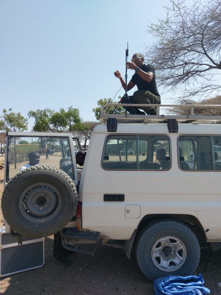
We deployed to Meatu District in September this year and surveyed 12’000ha of land in 3 villages in 5 days using survey grade mapping drones. This land management plan project is an exploration to see if drones can be used to support the CCRO issuance process. We chose 3 villages as a first pilot to see if there are different features amongst them. Some of the properties had visual markers such as hedges or trees but most did not hence the need for a second phase to demarcate the different farms using ground-truthing teams similar to our work in another region called Dodoma.
This project is the perfect exemple of what we do, from the technical aspects of our activities to community engagement. We have often mentioned that flying drones is only 5% of the job. The remainder is data processing, analysis and visualization as well as engaging with communities and stakeholders. It is therefore imperative that you acquire data rapidly and reliably when you are in the field, and therefore it behooves one to choose the appropriate drone for the job. Our senseFly eBee drone fleet performed really well and we were able to repair minor damages in the field to ensure we were continuously flying. A new lesson learned is to get an advanced weather report before reaching the field site because it was extremely windy (>12m/s) in the mornings. We started doing this by contacting local residents close to our “airstrip” since there were no weather stations available.
This was also a practical training mission for our colleagues of the future Uganda Flying Labs to gain invaluable field experience of what it takes to deploy and execute such projects. The training was so successful that we think it might be a good idea to time our normal drone training courses with projects because nothing can rival hands-on real world experience.
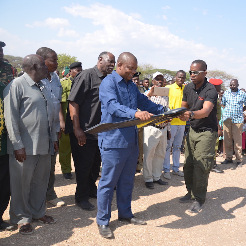
The regional authorities were very supportive of our efforts and we wish to thank Hon. Anthony Mtaka, Regional Commissioner for Simiyu for inaugurating our project, developed in partnership with the Meatu government and the Economic and Social Research Foundation (ESRF) for their coordination and leadership. Lastly, we wish to thank the residents of Meatu District for supporting our efforts. We hope to return soon and continue mapping other villages.
https://www.youtube.com/watch?v=GAJdArmHQZM&feature=youtu.be
Azam TV: The Regional Commissioner of Simiyu Region inaugurated the land management project using drones to support the issuance of certificates of customary right of occupancy.
Category(s)
Recent Articles
View All »

Wildfire Assessment and Web Application in Sao Paulo
