Drones and the Cocoa Cooperatives of Biankouma, Côte d'Ivoire
The objective of the presentation was to explain the aerial mapping work and its benefits to the member farmers.
April 27th, 2020
By Aboubacar Karim, Côte d'Ivoire Flying Labs
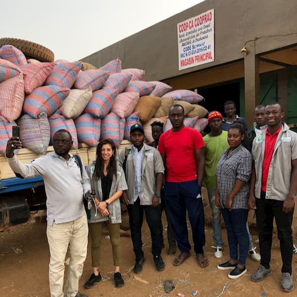
On January 24th, team members from INVESTIV and Côte d'Ivoire Flying Labs presented their work on drone mapping to facilitate the certification process of cooperatives in the town of Biankouma. Participants in this workshop included members of COOP-CA COOPRAD—an agricultural cooperative composed of 1,291 farmers who specialize in cocoa production—other community members not related to the cooperative, and community leaders. The objective of the presentation was to explain the aerial mapping work and its benefits to the member farmers.

The pilot project for the use of drones in the certification process of cooperatives is carried out in partnership with KINEDEN, a significant player in the cocoa bean export industry that sources its supplies directly from agricultural cooperatives in Côte d'Ivoire. This project includes aerial mapping of 9,467 producers' plots through 9 cooperatives for a total area of 28,744 hectares. Using the data collected by the drones, we then identify each producer, centralize their data, and create an updatable database with online functionalities. The project is divided into 2 phases, a social and GPS data collection phase from December 17th to February 29th and a phase of locality overflight by UAV from March 1st to April 1st.
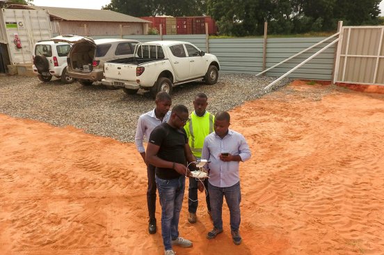
Having recently completed the mapping of the plots of the members of the COOP-CA COOPRAD cooperative as well as the setting up of the requested database, INVESTIV, and Côte d'Ivoire Flying Labs brought together more than 200 member farmers from the Biankouma community to share the details of the work with them. INVESTIV and Côte d'Ivoire Flying Labs presented two types of drones with which the mapping work is carried out, explained their different capabilities, showed on-screen examples of plot maps belonging to various producers, and answered questions from the audience. The day ended with a drone flight demonstration followed by closing remarks and thanks from the community to the INVESTIV team.
Category(s)
Location(s)
Recent Articles
View All »

Preserving Senegal's Mangroves: Aerial Mapping in Somone Marine Protected Area
