Mauritania Flying Labs Joins the Network
Flying Labs Network | July 20, 2026
The establishment of Mauritania Flying Labs creates a platform for long-term innovation, responsible technology use, and sustainable development impact.
A few highlights from the team.
July 1st, 2019
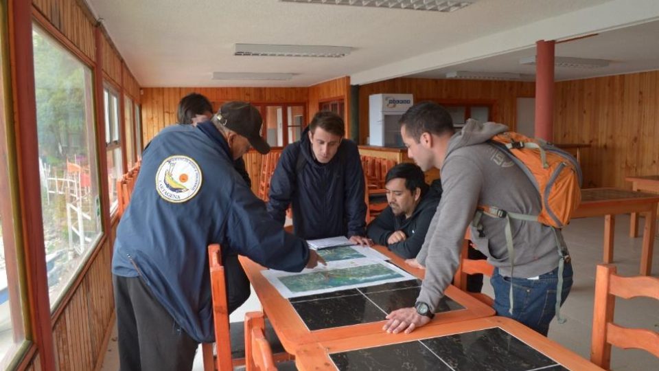
This has been a busy year for Chile Flying Labs. Here are a few highlights from the team:
 The 14 members of the Chilean Air Force next to our geomatics manager, Fabiola Barrenecha (in the middle)